RIDGECREST — I became enamored with the Ridgecrest area in my first solo trip to Death Valley 31 years ago.
A Backroads Bicycling Tour package a year before gave me my first taste of Death Valley and I was intrigued by the idea of bicycling up 12 mile climbs, grinding up and descending 18 percent pitches, and pedaling on endless miles of gently rolling highway pavement in Death Valley proper with the feeling I could see forever while at one point dipping 200 feet below sea level.
It was on my solo trip the following year that I discovered Ridgecrest was more than just an area to drive through to get to Death Valley.
I was bicycling down Wildrose Canyon to the Panamint Valley when I came across a roadside rest area complete with a picnic table. I used it to break out the fig newtons I had in my handlebar bag when all of a sudden I heard a noise. Coming toward me at a trot was a wild burro. Before I knew it I had scrambled on top of the table, which is not an easy task to do quickly while wearing bicycling cleats. After what seemed like hours but was actually more like 15 minutes of the burro aggressively moving toward — and bumping — the table, it decided to wander off. Fortunately it left my bicycle alone.
I continued my journey down the canyon. As I reached the point where the canyon walls gave way to a view of Panamint Valley below a loud noise slammed my eardrums. Just ahead of me some 100 feet or so above the descending roadway a Navy fighter jet went screeching by. Seconds later another came in hot pursuit.
A few days later driving home via Panamint Valley Road, I marveled at another jet that passed perhaps 100 feet over my car following the road that I noticed late had markings for aircraft.
What I find out later is Ridgecrest is where the Navy operates the China Lake Air Weapons Station. Not only is it the Navy’s largest landholding with 1.1 million acres that dwarfs Rhode Island, but more than 20,000 manned and unmanned military sorties are conducted out of Armitage Field at China Lake every year.
Some 19,600 squares miles of restricted and controlled air space is at and around China Lake constituting 12 percent of all of California’s air space. Sharing that airspace are Edwards Air Force Base and Fort Irwin.
Ridgecrest is near a lot of interesting things making it a nice stopover point or even a place to base for two or three days of exploring. It is within 90 minutes of both the highest (Mt. Whitney at 14,505 feet) and lowest (Badwater in Death Valley at 282.2 feet below sea level) points in the continental United States with Badwater doubling as the lowest point in North America.
But first there are a few things worth seeing in Ridgecrest that is home to about 27,000 souls and is surrounded by four mountain ranges — the Sierra, the Coso, the Argus Range, and the El Paso Mountains. It goes without saying one of those things is the Naval Museum of Armament and Technology at 130 E. Las Flores that’s open Monday through Saturday from 10 a.m. to 4 p.m.
It features artifacts, photographs, film, documents, and related heritage memorabilia from China Lake. For more information, go to chinalakemuseum.org or call (760) 677-8666.
There is also the Maturango Museum at 100 E. Las Flores Ave. that is open daily from 10 a.m. to 5 p.m.
It offers a wide array of interesting exhibits on the surrounding geology and history of the area. It also doubles as a Death Valley Visitors Center. While the gift shop and information area has free admission, the museum and art gallery has a $5 charge for adults (18 to 54) and $3 for 55 and older.
The most enticing lure of the museum is much more expensive and can be difficult to book. They have Navy approved guides that lead tours in the spring and fall to explore the petroglyphs found in various canyons at China Lake. It is there you will find Big and Little Petroglyph Canyons. They are home to major accumulations of Paleo-Indian and/or Native American petroglyphs. The little canyon has more than 20,000 documented images that are substantially undisturbed and are among the largest known collections. It’s little wonder that you’ll see petroglyphs adorning medians throughout Ridgecrest or that the town the first weekend in November stages the Ridgecrest Petroglyph Festival to celebrate Native American History Month.
The tours that require you to be in good physical health, be 10 years or older and a United States citizen cost $60. They are sold out through the end of December. Additional tour dates will be available in the spring. For more information about the tours or the museum, go to www.maturango.org.
There are several places you can access from Ridgecrest that are worth visiting.
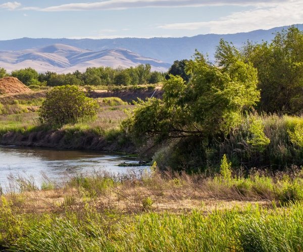
My favorites are the Trona Pinnacles. The National Natural Landmark is east of Ridgecrest via a packed dirt road off the highway that takes you to Trona.
It consists of more than 500 tufa spires with some 140 feet high rising from the Searles Dry Lake Basin. The geological features run the gamut from short and squat to tall and thin. Like the tufa towers exposed by the waters of Mono Lake further north before Los Angeles was stopped from diverting all of the creeks that flowed to the lake, the tufa spires are made primarily of calcium carbonate.
The Trona Pinnacles have served as the backdrop for movies such as “Star Trek IV: The Final Frontier”, “Dinosaur”, and the remake of “The Planet of the Apes” among others. There have been numerous musical videos, films, and commercials produced there including a Christian Dior commercial featuring Charlize Theron.
Head a little farther down the highway behind the Trona Pinnacles cutoff and you’re in the town of Trona were mining is king and not much grows. It is along one of three California routes that take you into Death Valley via a paved road at least when flash floods haven’t wiped it out.
The high school there has been the subject of a Los Angeles Times article. The Trona Tornadoes play eight-man football primarily with Nevada schools and travel as far north of Nevada’s Idaho border to play games. Their home field has earned the team an unofficial nickname from opponents —The Trona High Sandmen. That’s because the field is literally sand, given grass doesn’t stand a chance in Trona.
Ridgecrest is just to the northeast of two popular destinations — Red Rock Canyon State Park and Jawbone Canyon.
Red Rock Canyon offers scenic desert cliffs, buttes and impressive rock formations at virtually the southernmost tip of the Sierra range. There are numerous side canyons with eye-catching colors and shapes.
Ricardo Campground is tucked up against the base of desert cliffs and offers 50 primitive campsites, potable water, pit toilets, fire rings, and tables. Camping is $25 per night per site, which includes parking for one vehicle per site, or $23 per night for seniors (62 years old or older).
There are numerous hiking trails while horses are allowed on all roads. All licensed vehicles (street legal and OHV with green stickers) may travel on the primitive (dirt) road system within the park.
Jawbone Canyon is a favorite for off road vehicles as well as hikers. The Bureau of Land Management area features cross-country play to advanced technical routes, the Jawbone OHV Area offers over 7,000 acres of open-use public land where you can ride anywhere your skill and machine will take you. Jawbone is also a starting point to begin to explore the hundreds of miles of trail riding opportunities available in this region and outside of the OHV Open Area.
Ridgecrest is a five hour and 30 minute drive from most parts of the 209 covering 331 miles. Summer is arguably the only time you might not want to visit as hiking and some outdoor activities can be perilous given the heat.